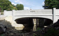
 Pike Bridge Project


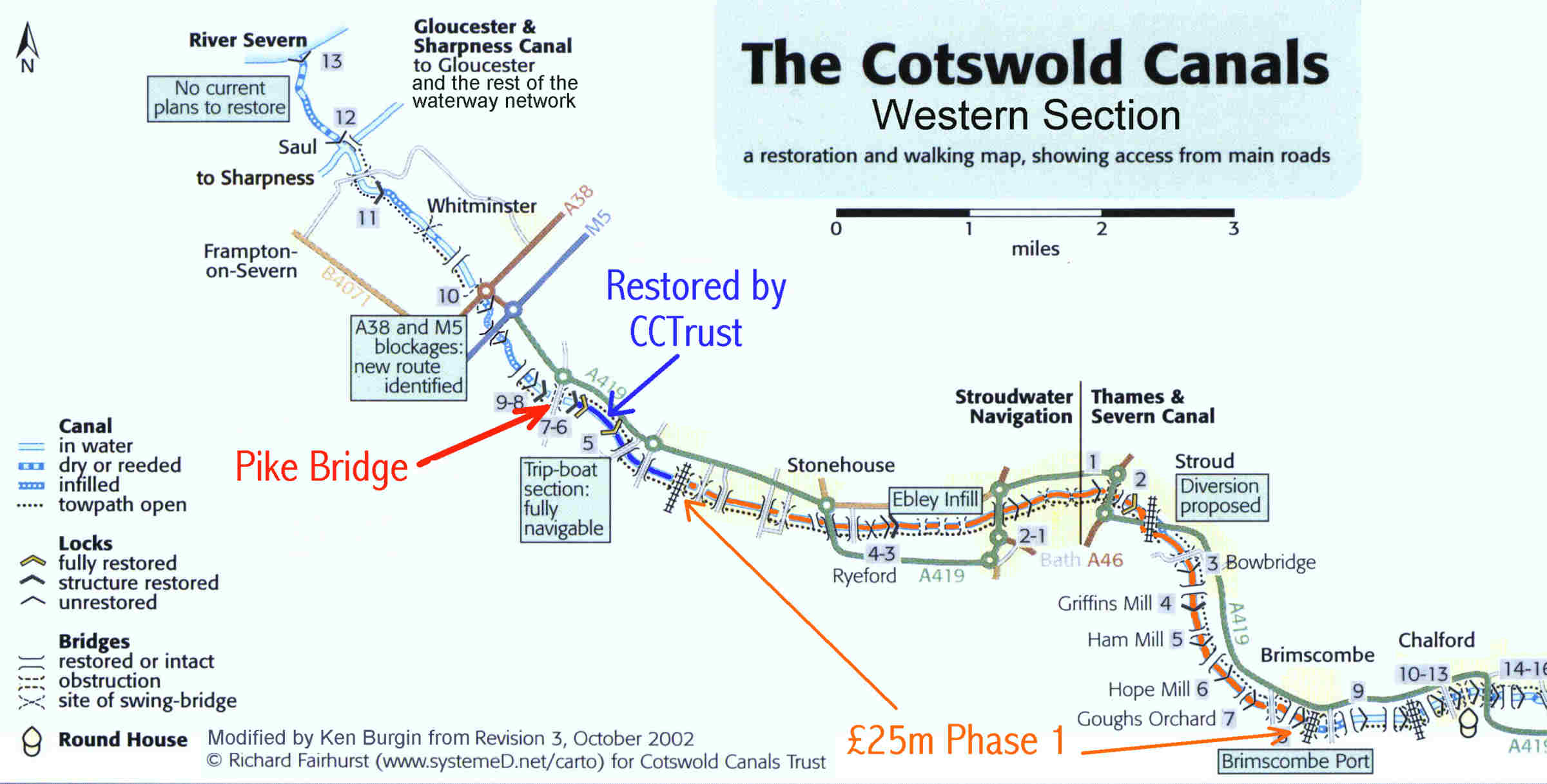
Location of Pike Bridge
The Pike Bridge
is located near the western end of the Cotswold Canals. It carried the main
road into the village of Eastington.
The bridge (or lack of it) forms the next major obstruction to overcome
to enable the extension of the Cotswold Canals Trust restored length
westwards. The Heritage Lottery Funded Phase 1A section runs from
Stonehouse about 1 mile east of Pike Bridge to Brimscombe Port, a
length of about 6 miles. Work on this £20m project is due to be
complete by the end of 2015. Access to the rest of the national
waterway network depends on the restoration of the 4 mile Phase 1B
section between Eastington and the Gloucester & Sharpness Canal at
Saul - Pike Bridge was a key project within this length. The
Cotswold Canals Trust is the lead organisation for Phase 1B.
3
Home | Location | History | Technical | Pictures | Background Information | Contacts | Links
This document is maintained by
ken.burgin@pikelock.com
.
Copyright © 2004 Cotswold Canals Trust; all other rights reserved