 Stroudwater
Navigation Ebley to Wallbridge
Stroudwater
Navigation Ebley to WallbridgeStroudwater
Navigation Ebley to Wallbridge
Section 1 - Lockham to Whitminster Wharf (A38)
2c Ocean - Ryeford Double Lock
The Stroudwater Canal is managed by SVCC and navigation information is available on their web pages HERE. Please remember that the offside canal bank (the one opposite the towpath) is usually private property.
The canal has been restored
throughout this length but this section was the
subject of a major flood relief scheme shortly after the canal was
closed and is now classed as "main river" by the
Environment Agency. Therefore, significant flows can be encountered
after wet weather and care is needed and a single set of flood gates at
Ebely Mill may prevent navigation under such conditions. There may also
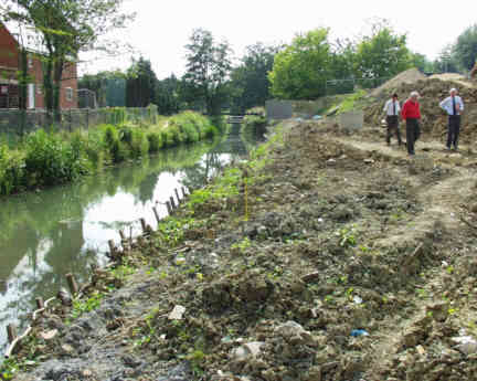
be problems of silting and restricted width. A programme to widen and
deepen the canal is under way using volunteers.
 |
East of Ebley Mill, at Fromebridge Gardens, the canal has been converted into a flood relief channel and water passing down the canal is discharged into the River Frome. |
 |
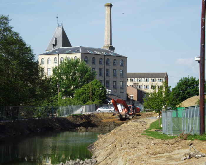
A little upstream of Ebley, an area is reached where there has been major redevelopment on both sides of the canal. |
 |
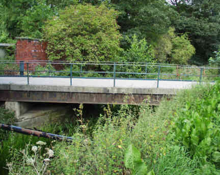
The canal continues eastwards
towards Dudbridge where a new
bridge carries the A419 dual carriage way over the canal with full
navigation
|
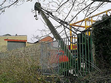 |
An hand operated crane still
survives on what was the old Dudbridge wharf. |
 |
Immediately beyond the bridge
is Dudbridge
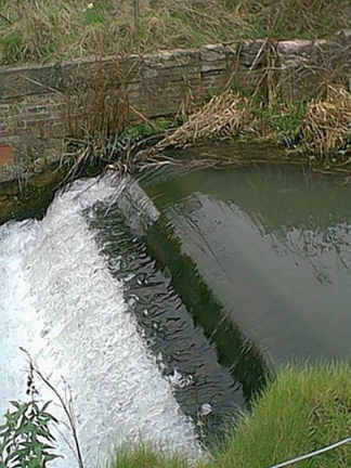
Lower Lock . The two locks at Dudbridge , both restored now, are bypassed by a very large flood relief overflow channel. and a hydro scheme which generates power to supply the grid using the surplus water. A display visible from the road bridge shows the instantaneous and cumulative power outputs. The canal carries the flows from Slad Brook and the Painswick Stream which is joined by Ruscombe Brook between the two Dudbridge locks, In times of flood, the flows down the canal can be considerable and most winters see at least some periods of high flows making navigation unwise. |
 |
The canal presses on towards Stroud and the next road crossing is at Chestnut Lane where a new electrically operated swing bridge has been installed. Most small craft should be able to pass underneath but particular care is needed in times of higher flow. |
 |
Lodgemoor
Bridge swing bridge has been replaced by an iconic single balance arm lift bridge and is unusual in that it is
also a skew bridge. It is the last bridge over the Stroudwater Canal
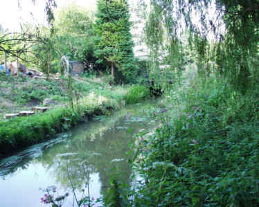
before its terminus is reached at Wallbridge. As Stroud is approached, the Painswick Stream enters on the north bank. This used to be navigable for a short distance at one time. |
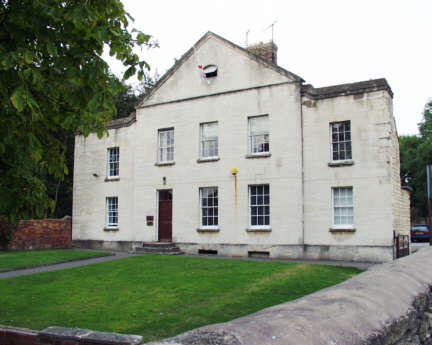 |
The
Thames & Severn Canal leaves the Stroudwater Canal at Wallbridge
on the north bank. The Stroudwater Navigation used to terminate in a
basin just beyond this point but it has been filled in and is now
occupied by various businesses. The original red brick warehouse still
stands on the north side as does the former headquarters building of
the Company of Proprietors of the Stroudwater Navigation just beyond
it - this is best viewed from either the T&S Canal towpath or the
main road. |
| The
T&S Canal between Stroud and Hope Mill just west of Brimscombe has been restored as the latter part of Phase 1A
restoration programme. Further dredging and improvements are still taking place. The section from Brimscombe to
Chalford is mainly still owned by Gloucestershire County Council who
took over the operation of the T&S Canal over a century ago. Some
lengths are still in water but sometimes reeded over. |
Section
2 - Meadow Mill to Ryeford Double Lock
Thames &
Severn Canal Description and Pictures
Licensing Information Guide to Navigation Back to Stroudwater Index Page